Official Identification Resource
Weather balloons come with schedules, GPS tracks, and comparison data
Worth Revisiting: National Weather Service radiosondes rise above 100,000 feet, drift with upper winds, transmit once per second, and launch on a synchronized network.
Briefed August 18, 2026 · Aliens in the Clouds
Worth Revisiting
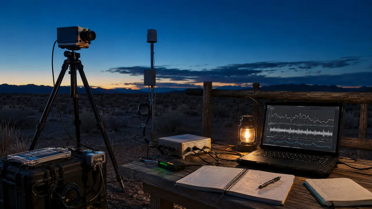
The National Weather Service says it takes routine upper-air observations with radiosondes suspended beneath helium- or hydrogen-filled balloons. The instruments transmit pressure, temperature, humidity, and GPS position each second while rising about 1,000 feet per minute; a typical flight can exceed 115,000 feet and drift more than 180 miles before the balloon bursts.
NWS operates or supports 102 stations across the United States, Pacific, and Caribbean, while more than 800 stations exchange observations worldwide. Most routine launches occur near 00:00 and 12:00 UTC, with additional soundings possible for severe weather or research. A balloon explanation for a specific UAP report still needs a plausible launch, track, wind profile, timing, and viewing geometry—not merely the existence of balloons.
Why it matters
Radiosonde schedules and GPS-derived winds provide concrete comparison data for high-altitude, wind-borne observations that might otherwise remain a generic ‘could be a balloon.’
What the source establishes
The NWS fact sheet documents how its own network operates. Other government, commercial, research, and hobby balloons may follow different schedules and may require separate records.
Published by Aliens in the Clouds. These AI-assisted summaries link to their sources and distinguish reported claims from established findings. Skinny Ed is a fictional mascot; High Thoughts are comedy. Send a correction with its source.