Official Weather Data
NOAA's GOES viewer lets clouds keep their timestamp
Worth Revisiting: visible and infrared satellite loops can reconstruct cloud cover, smoke, dust, and changing atmospheric conditions around an observation.
Briefed August 19, 2026 · Aliens in the Clouds
Worth Revisiting
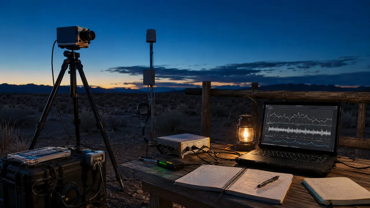
NOAA's National Environmental Satellite, Data, and Information Service publishes interactive imagery from operational weather satellites. Its GOES visible band shows daytime dust, haze, smoke, and clouds, while the 10.3-micrometer infrared window continues cloud identification through the night; animations show how those features change over time.
The imagery will not identify every light or object, and NOAA says the public viewer is informational rather than an operational forecasting service. Used with a precise timestamp, location, viewing direction, weather report, and original media, however, it can test whether a reported shape, disappearance, or glow coincided with cloud layers or atmospheric movement.
Why it matters
A time-matched satellite loop provides independent environmental context and can replace vague claims about ‘cloud camouflage’ with something investigators can inspect frame by frame.
What the source establishes
GOES imagery records broad atmospheric conditions at defined wavelengths and resolutions. It is comparison data, not a camera trained on the reported target.
Published by Aliens in the Clouds. These AI-assisted summaries link to their sources and distinguish reported claims from established findings. Skinny Ed is a fictional mascot; High Thoughts are comedy. Send a correction with its source.